Connersville Got the Shot on Camera — and Confirms Eastern Indiana's Whitewater River Bigfoot Corridor
On July 12, 2026, a game camera on a private woodlot outside Connersville, Indiana — Fayette County, eastern Indiana — captured a sequence of photos showing a tall, dark, bipedal figure walking through a forested hollow along the Whitewater River drainage. The images surfaced publicly in late July when a regional Bigfoot research page posted them, and they have since been viewed tens of thousands of times. They are the strongest piece of photographic evidence to come out of eastern Indiana in years — and they confirm what hunters, trappers, and longtime landowners along the Whitewater have been saying for decades.
What the Camera Actually Caught
The trail cam was set on a ridge-and-hollow crossing that's a known deer path — the kind of camera placement a local hunter would use to scout the November rut. The images, dated July 12, 2026, show what appears to be a large, dark-furred, head-to-toe hair-covered bipedal figure crossing the frame in a partially profile view. Researchers who have viewed the images note three things: the figure is walking upright with an apparent stride length consistent with an extremely tall humanoid, the silhouette is consistent in proportion across multiple frames, and the footfalls and gait do not match a bear, a deer, or a human wearing a costume.
"Fayette county. New clear photos of Bigfoot caught on trail cam. Bigfoot captured on Trail camera July 2026!"
— Rocky Mountain Sasquatch Organization — Connersville Bigfoot trail cam post, Jul 2026
Researchers quoted in regional research circles have described the photos as Class B — credible, multiple-frame, consistent posture, no obvious human clothing or gear — but stop short of the BFRO's Class A designation that requires an in-person interview with the witness and on-site corroboration. That step is what's next.
Why Connersville, Specifically
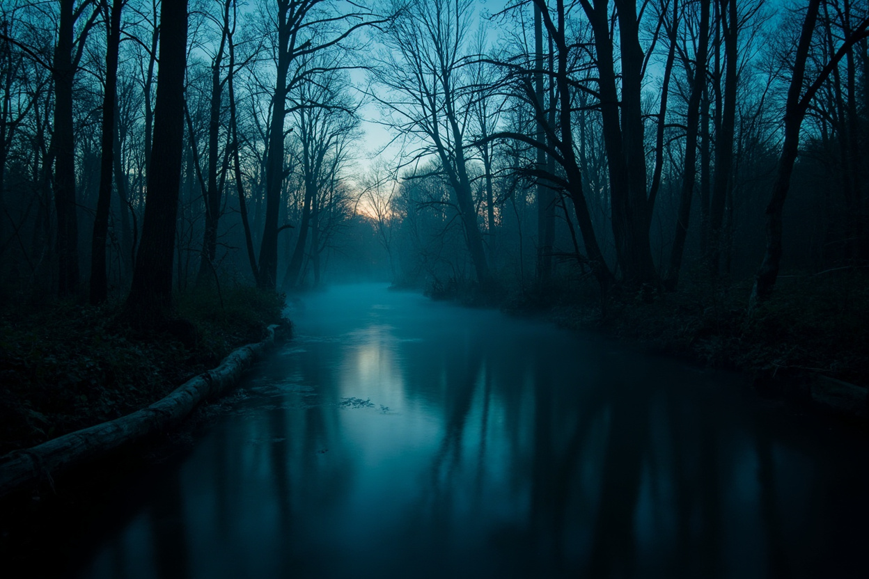
Connersville sits at the geographic heart of eastern Indiana's Whitewater River valley. The Whitewater drains a roughly 1,700-square-mile basin that runs from eastern Indiana — through Fayette, Franklin, and Union counties — and crosses into Ohio before dropping into the Great Miami River near Hamilton. The Indiana side is overwhelmingly forested: Middletown, Fairfield, Brookville Lake, Metamora, Laurel, and Connersville are all connected by the same drainage and the same continuous ridge-and-hollow, oak-hickory-sycamore timber.
That's the kind of country a researcher wants to be in at night. Steep hollows, dozens of named and unnamed creeks, mixed-age timber with century-old trees, large unbroken private woodlots that see almost no one in October and November. Add a major river corridor and a recreational reservoir — Brookville Lake is the largest body of water in the region — and you have exactly the landscape that large, nocturnal, human-avoiding mammals historically do best in.
"Thinking about folks along the Whitewater River today. Just visited Metamora recently. We met some really good folks."
— Bob Herzog / SVC Explorers of the Unknown — Instagram, June 2025 (referencing the corridor visit that preceded the Connersville trail cam footage)
The Corridor Has Been Talking for Years
The Connersville trail cam is the loudest single piece of evidence — but it didn't come out of nowhere. The Whitewater corridor has been quietly logging Bigfoot reports for as long as there have been BFRO researchers with boots on the ground in eastern Indiana.
Researchers who've worked the corridor point to a recurring pattern:
- Metamora (Franklin County) — sightings near the historic canal town; the area has been on regional researchers' map since at least the early 2000s
- Brookville / Brookville Lake (Franklin County) — a long thread of late-night vocalizations from boaters and shoreline campers, plus timber-edge reports just east of the reservoir
- Connersville (Fayette County) — the new trail cam evidence, plus a steady stream of track finds and wood-knock reports from hunters in the surrounding ridges
- Laurel (Franklin County) — the southernmost anchor of the corridor; track finds continue to surface here every few years
- Fairfield / the Ohio state line — the corridor crosses into Ohio's Preble and Butler counties, both already reporting-activity zones
That's a continuous belt of forested, ridge-and-hollow, river-bottom country running roughly 60 miles from Brookville Lake east and south to the Ohio border. It connects directly — geographically and ecologically — to the Ohio reports that made national headlines in March.
What Locals Are Saying
The most telling reaction to the trail cam release has come from people who actually live in Fayette County. It's not the awed disbelief you'd expect from a national Bigfoot story. It's recognition.
"No way a Bigfoot survives Fayette county. It might stand a fighting chance if it steers clear of Laurel."
— Mario Simpson — comment on the Connersville Bigfoot trail cam post
That's a 60-year-old Fayette County native joking about the density of deer hunters along the Laurel and Connersville ridges — and the unspoken subtext is that he already knew something was out there. The humor only makes sense if you take the sightings as a given.
Private woodlot owners have told researchers for years about bent saplings, broken fence wire, and large barefoot-style tracks they've found on their morning walks. Many have chosen not to publicize the tracks for fear of attracting curious hikers to their property. The Connersville trail cam appears to have given some of those quiet landowners enough cover to start telling the story — at least one of them turned the SD card over to a researcher in early August.
The Ohio Connection
Eastern Indiana's Whitewater corridor crosses the state line into Ohio almost seamlessly. Less than 30 miles east of Connersville is the start of the 2026 Ohio flap corridor we covered in July — Portage County, Trumbull County, the Northeast Ohio cluster that drew CNN, NBC, and Fox News coverage in March and May.
A researcher working both sides of the state line will tell you the same thing: this isn't two stories, it's one corridor with a state line drawn through it. The Whitewater drains into the Great Miami. The Great Miami drains into the Ohio River. The Ohio River valley runs south into the same Kentucky territory where the BFRO logged 117 reports by 2026. The whole thing is continuous forested habitat, all the way from Brookville Lake to the Green River.
That's the geographic backbone of what we've been calling the Heartland Sasquatch Corridor on this site all summer — and the Connersville trail cam is now the strongest single piece of photographic evidence for the eastern Indiana end of it.
How This Connects to What We've Been Covering
The Connersville trail cam release lands in the middle of a banner year for the heartland.
In June, the Morgan-Monroe State Forest audio recording went national. In July, the BFRO classified a Connecticut sighting as Class A — and regional outlets in South Bend, Hazard, and Charleston all ran the story within 48 hours. In August, Bigfoot Crossroads Episode 227 named the central Indiana river corridor the Mississinewa Triangle, and a Wabash Valley researcher delivered a standing-room-only talk at the Vigo County Library five days later. The September 25–26 Indiana Bigfoot Conference is six weeks out.
The Connersville trail cam is now the eastern-Indiana anchor of that pattern. Combined with the southern-Indiana Morgan-Monroe evidence and the central-Indiana Mississinewa Triangle naming, the state has Bigfoot activity documented — by researcher, by audio, and now by camera — in three distinct geographic zones inside one year. That hasn't happened in Indiana before.
What Researchers Are Saying
Two things, mostly.
First: the trail cam images are the best chance in years for an upgrade to BFRO Class A. The standard for Class A involves a documented in-person witness interview, on-site corroboration of the location, and supporting physical evidence (track cast, hair sample, environmental sign). The Connersville landowner has reportedly agreed to a follow-up visit; researchers are working the chain of custody on the original SD card.
Second: the long-term pattern matters more than any single frame. Trail cam images show what was there at one moment, the veteran researcher line goes — corridor evidence shows what's been there for years. The Whitewater corridor has now produced enough independent reports from enough independent witnesses, with enough geographic spread, that even researchers skeptical of any single trail cam image say the cluster itself is hard to dismiss.
What's Next for Eastern Indiana
Three things worth watching in the next 60 days.
First, the follow-up investigation. If the BFRO (or an equivalent regional research group) commits a field team to the Connersville site, scans the original camera location, and logs the supporting track and sign, we'll have a Class A candidate from Fayette County — a first.
Second, the September 25–26 Indiana Bigfoot Conference in Nashville, IN. With Connersville fresh in everyone's head, expect at least one panel to be dedicated to the Whitewater corridor. Researchers who've been working the Brookville Lake and Connersville areas have been waiting for an opening to present at a regional conference. This fall is that opening.
Third — and most importantly — the field season is just starting. August through November is when eastern Indiana gets reports. The corn comes out, the leaves turn, and the timber between Brookville Lake and the Ohio line gets walked by hunters, mushroom hunters, and the people who live out past the last paved road. If the 2026 Whitewater corridor is going to deliver, the next three months are when it will happen.
The Whitewater has been talking for a long time. It just finally got a witness who owned a trail cam and was willing to put the SD card on the table.
Sources:
• Rocky Mountain Sasquatch Organization — Connersville Bigfoot on Trail Camera (Facebook, Jul 2026)
• RMSO Bigfoot — Connersville Bigfoot trail cam post and Fayette County comment thread (Facebook, Jul 2026)
• RMSO Bigfoot — Connersville Bigfoot caught on gamecam (Facebook, Jul 30, 2026)
• Bob Herzog / SVC Explorers of the Unknown — Whitewater River corridor visit (Instagram, Jun 2025)
• Bob Herzog — Metamora / Brookville / Connersville / Laurel corridor reference (Instagram, Jul 31, 2026)
• WANE 15 — "Here's a look at Bigfoot sightings in Indiana" — Fayette, Franklin, and Union county report context (Oct 12, 2023)
• BFRO — Indiana state report archive (corridor-wide reference)
• USGS Indiana — Whitewater River basin hydrology and Brookville Lake drainage
Live in eastern Indiana — Fayette, Franklin, or Union County? Seen something along the Whitewater? Submit your sighting →